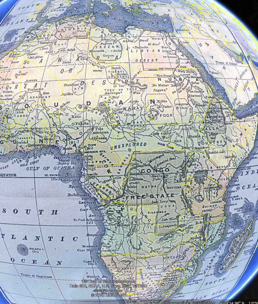
Modern-day African borders are largely determined from the remnants of European colonialism and not from any actual understanding of local tribal, ethnic, or racial considerations. For this analysis the map of Africa is a colonial map from 1890.
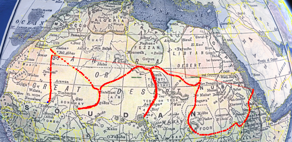
The red borders drawn here are completely lacking in the colonial map, where Mali, Niger, Chad, etc are today there is only a huge area of Soudan and Nubia along with the Sahara desert. Due to European influence largely being concentrated along the coastlines, where ships traveled, the center area was not divided as of yet. This was further exacerbated by the fact that the Sahara was deadly to cross in that time period.
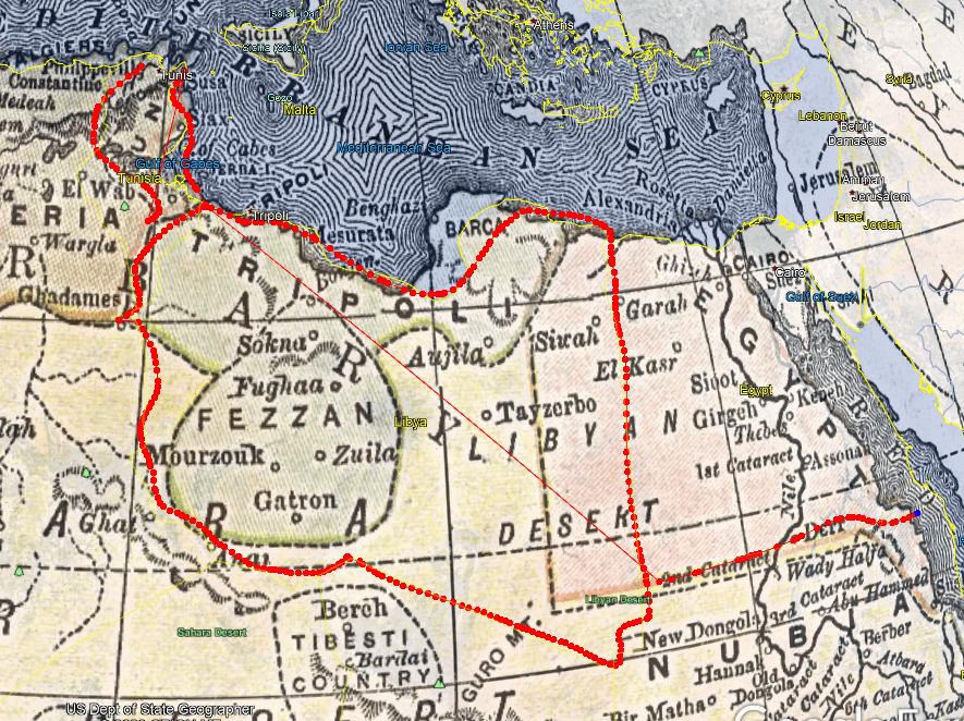
However, Egypt largely had it’s present day border, and while Libya and Tunisia did not exist we can see the beginnings of both. In the corner, Algeria has yet to expand to it’s full size and Morocco was much larger back then.
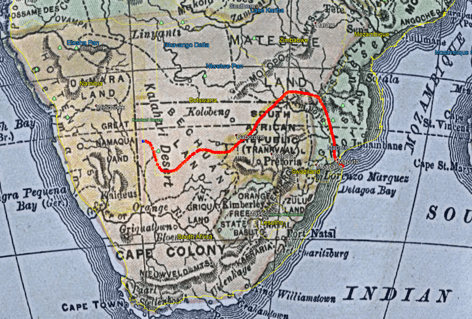
The southern tip of Africa during that time actually largely mimic’d modern day Africa, with Namibia and Mozambique’s borders being fairly similar to what we see today. However, South African and Botswana were all under the Cape Colony name, and Transvaal and the Orange Free State were still independent areas
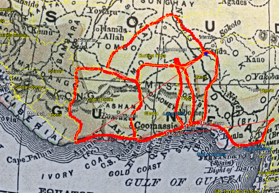
Here, Liberia has already been formed but the Area lacks some of it’s modern day complexity. Much of what is now the Ivory Coast, Ghana, Togo, Benin, and Burkina Faso is under the territory of Soudan(yellow) or Senegambia (brown), with the whole area still called Guinea. We can see the starts of modern day countries along the coastline, but they have not yet expanded inward, with Togo and Burkina Faso simply not existing at all.
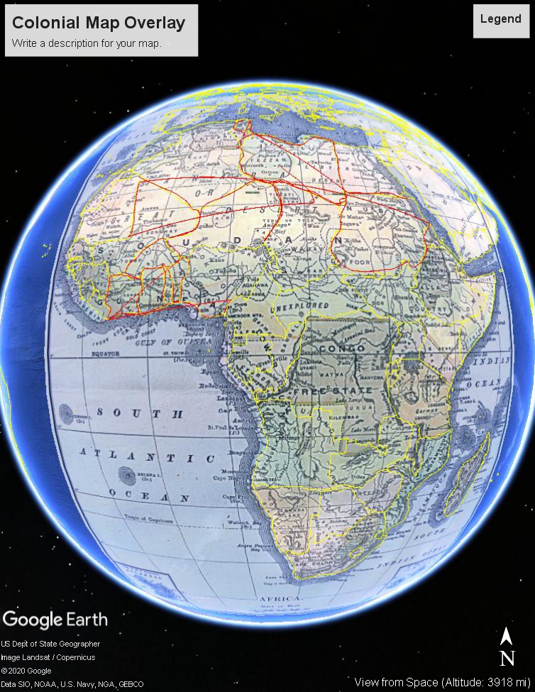
Overall, we can see a lot of historical influences in place especially along the coastlines and lusher areas in the south. While there are far fewer countries in the colonial map, it shows territories that would later split after the country lost ownership or simply areas that Europeans had not claimed at the time. In a couple of places we see modern day borders already set from colonial lines, and in other places we see a natural earlier step due to colonization being primarily from the coast inward.
